Soubor:Palatinatus Rheni (Merian) 095.jpg
Z Multimediaexpo.cz
Velikost tohoto náhledu je: 793 × 600 pixelů
Obrázek ve vyšším rozlišení (rozměr: 2 000 × 1 512 pixelů, velikost souboru: 451 kB, MIME typ: image/jpeg)
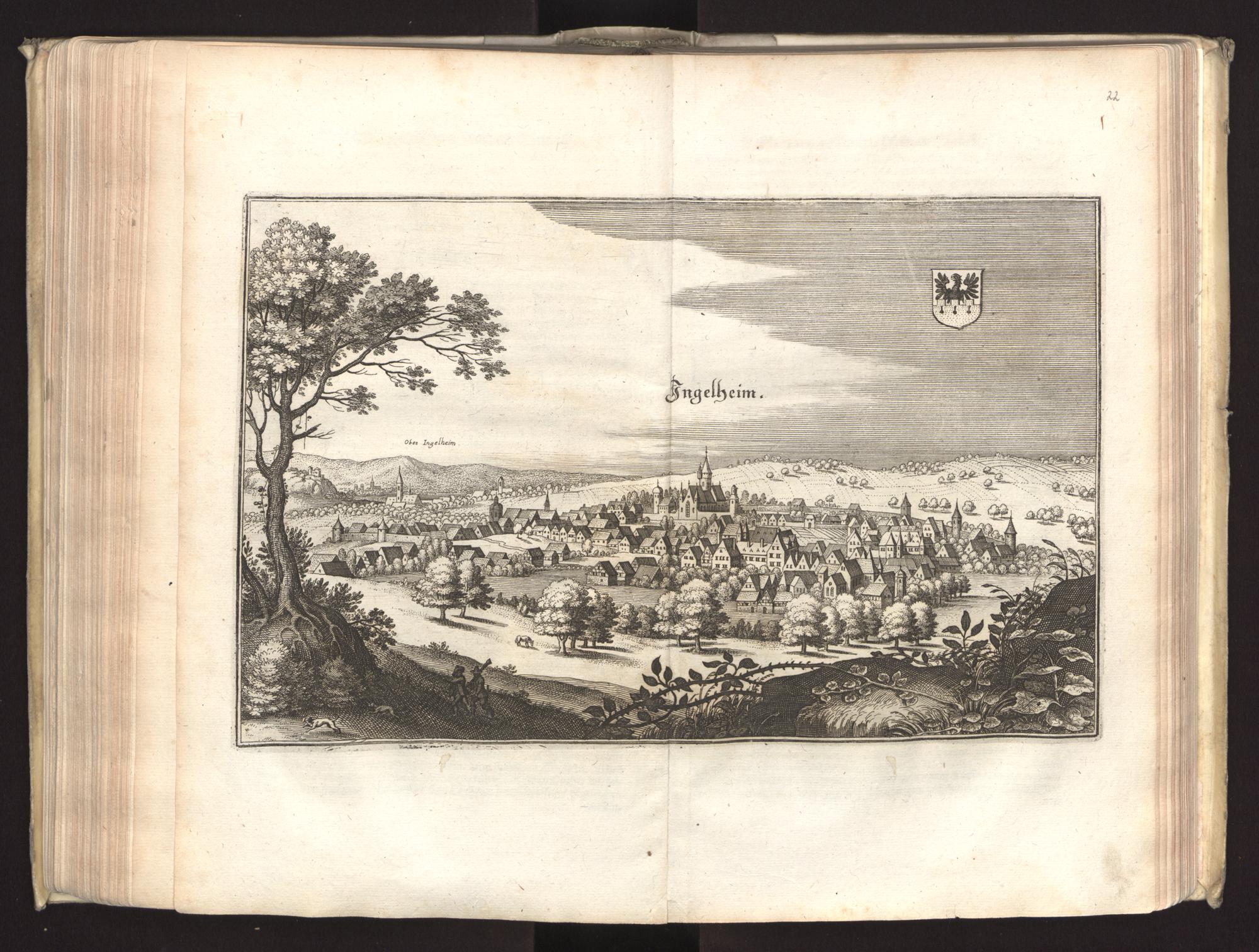
Fotografie + Title: Topographia Palatinatus Rheni et Vicinarum Regionum
- Subtitle: Das ist, Beschreibung vnd Eigentliche Abbildung der Vornemsten Statte, Plätz der Vntern Pfaltz am Rhein Vnd Benachbarten Landschafften, als der Bistümer Wormbs Vnd Speÿer, der Bergstraß, des Wessterreichs, Hundrücks, Zweÿbrüggen, etc: Sampt einer Zugabe Ettlicher des H. Röm. Reichs Zu dem Ober Reinischen Cräyß gezogenen Ständen, alß Bisantz, Dietz, Tull, Verdun, Lothringen, Savoyen, etc: An Tag gegeben Vnd Verlegt durch Mattheum Merian. 1645.
- Series title: Topographia Germaniae
- Volume: 5
- Edition: 2
- Language: German
- Year of publication: 1645
- Place of publication: Frankfurt am Main
- Author: Martin Zeiller
- Illustrator: Matthäus Merian
+ pochází z Wikimedia Commons, kde má status – This work is in the public domain in its country of origin and other countries and areas where the copyright term is the author's life plus 100 years or less.
Historie souboru
Kliknutím na datum a čas se zobrazí tehdejší verze souboru.
| Datum a čas | Náhled | Rozměry | Uživatel | Komentář | |
|---|---|---|---|---|---|
| současná | 23. 5. 2019, 08:51 | | 2 000×1 512 (451 kB) | Sysop (diskuse | příspěvky) | (Fotografie + ) |
- Editovat tento soubor v externím programu (Více informací najdete v nápovědě pro nastavení.)
Odkazy na soubor
Na soubor odkazuje tato stránka:
_095.jpg&action=edit)
_095.jpg&action=history)
_095.jpg)
_095.jpg&oldid=1537702)
_095.jpg)
_095.jpg)
_095.jpg&action=edit&redlink=1)
_095.jpg&diff=prev&oldid=1537702)
_095.jpg&direction=prev&oldid=1537702)
_095.jpg&action=edit&externaledit=true&mode=file)
_095.jpg)