Soubor:Administrative district Prague 21.png
Z Multimediaexpo.cz
Větší rozlišení není k dispozici.
Administrative_district_Prague_21.png (rozměr: 544 × 399 pixelů, velikost souboru: 14 kB, MIME typ: image/png)
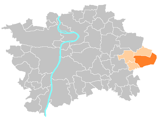
Mapa + Čeština: Mapka umístění městské části a správního obvodu Praha 21
- English: Location map of municipal district and administrative district Prague 21
- Date: 28 April 2010, 12:11 (UTC)
- Author: Michiel1972 , Ulathaar
+ pochází z Wikimedia Commons, kde má status – I, the copyright holder of this work, release this work into the public domain. This applies worldwide.
Historie souboru
Kliknutím na datum a čas se zobrazí tehdejší verze souboru.
| Datum a čas | Náhled | Rozměry | Uživatel | Komentář | |
|---|---|---|---|---|---|
| současná | 6. 1. 2016, 12:44 | | 544×399 (14 kB) | GVC Sobek (diskuse | příspěvky) | (Mapa + * Author: Michiel1972 + pochází z Wikimedia Commons, kde má status – I, the copyright holder of this work, release this work into the public domain. This applies worldwide. Kategorie:PD fotografie Kategorie:Maps of Prague division ) |
- Editovat tento soubor v externím programu (Více informací najdete v nápovědě pro nastavení.)
Odkazy na soubor
Na tento soubor neodkazuje žádná stránka.


