V neděli 16. března 2025 se podařilo týmu Multimediaexpo.cz
dokončit zcela nový balíček 920 000 fotografií na plných 100 procent !
Nedostižná hranice 4 000 000 fotografií se února 2026 už nedožije...
dokončit zcela nový balíček 920 000 fotografií na plných 100 procent !
Nedostižná hranice 4 000 000 fotografií se února 2026 už nedožije...
Soubor:Sea of Okhotsk map.png
Z Multimediaexpo.cz
Velikost tohoto náhledu je: 657 × 599 pixelů
Obrázek ve vyšším rozlišení (rozměr: 990 × 903 pixelů, velikost souboru: 84 kB, MIME typ: image/png)
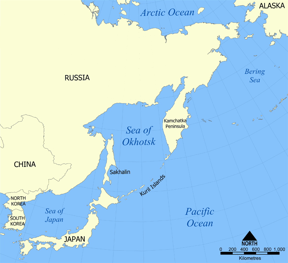
Mapa + Description:
- English: This is a map showing the location of the Sea of Okhotsk, with nation states listed. The sea is bordered by Russia and Japan. It also shows parts of the countries and territories that make up the region of Northeast Asia.
- Date: 24 October 2005
- Source: Own work
- Author: NormanEinstein
+ pochází z Wikimedia Commons, kde má status – Permission is granted to copy, distribute and/or modify this document under the terms of the GNU Free Documentation License, Version 1.2 or any later version published by the Free Software Foundation; with no Invariant Sections, no Front-Cover Texts, and no Back-Cover Texts.
Historie souboru
Kliknutím na datum a čas se zobrazí tehdejší verze souboru.
| Datum a čas | Náhled | Rozměry | Uživatel | Komentář | |
|---|---|---|---|---|---|
| současná | 25. 3. 2014, 10:50 | | 990×903 (84 kB) | Student85 (diskuse | příspěvky) | (MW115FOTO) |
- Editovat tento soubor v externím programu (Více informací najdete v nápovědě pro nastavení.)
Odkazy na soubor
Na soubor odkazují tyto 3 stránky:


