The English encyclopedia Allmultimedia.org will be launched in two phases.
The final launch of the Allmultimedia.org will take place on February 27, 2026
(shortly after the 2026 Winter Olympics).
The final launch of the Allmultimedia.org will take place on February 27, 2026
(shortly after the 2026 Winter Olympics).
Soubor:Map of Oregon highlighting Deschutes County.png
Z Multimediaexpo.cz
(Rozdíly mezi verzemi)
(Mapa +) |
(++) |
||
| Řádka 1: | Řádka 1: | ||
| - | Mapa + | + | Mapa + Description: |
| + | * English: This is a locator map showing Deschutes County in Oregon. For more information, see Commons:United States county locator maps. | ||
| + | * Date: 12 February 2006 | ||
| + | * Source: Own work | ||
| + | ** English: The maps use data from nationalatlas.gov, specifically countyp020.tar.gz on the Raw Data Download page. The maps also use state outline data from statesp020.tar.gz. | ||
| + | * Author: David Benbennick | ||
| + | |||
| + | {{PD-self}} | ||
| + | [[Kategorie:Maps of the United States]] | ||
Aktuální verze z 2. 2. 2026, 09:43
Mapa + Description:
- English: This is a locator map showing Deschutes County in Oregon. For more information, see Commons:United States county locator maps.
- Date: 12 February 2006
- Source: Own work
- English: The maps use data from nationalatlas.gov, specifically countyp020.tar.gz on the Raw Data Download page. The maps also use state outline data from statesp020.tar.gz.
- Author: David Benbennick
+ pochází z Wikimedia Commons, kde má status – I, the copyright holder of this work, release this work into the public domain. This applies worldwide.
Historie souboru
Kliknutím na datum a čas se zobrazí tehdejší verze souboru.
| Datum a čas | Náhled | Rozměry | Uživatel | Komentář | |
|---|---|---|---|---|---|
| současná | 2. 2. 2026, 09:34 | 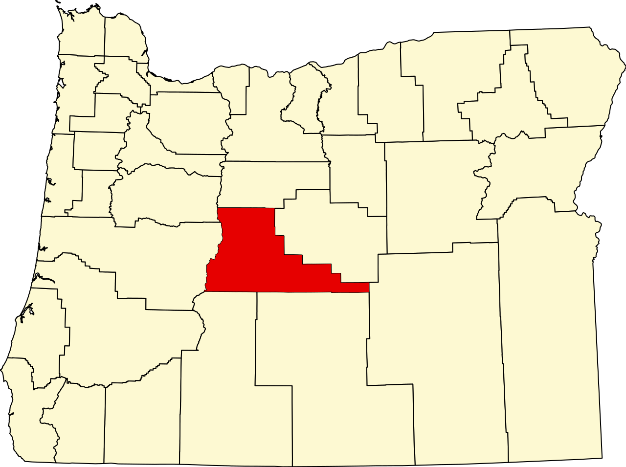 | 1 280×955 (140 kB) | Sysop (diskuse | příspěvky) | (Mapa + ) |
- Editovat tento soubor v externím programu (Více informací najdete v nápovědě pro nastavení.)
Odkazy na soubor
Na soubor odkazuje tato stránka:


