Soubor:Karte Schwäbische-Alb-Nordrand-Weg.png
Z Multimediaexpo.cz
(Rozdíly mezi verzemi)
(Fotografie +) |
(+ Doplnění) |
||
| Řádka 1: | Řádka 1: | ||
| - | + | Mapa + Description: Deutsch: Karte des Verlaufs des Schwäbische-Alb-Nordrand-Wegs | |
| + | * Date: 9 September 2012 | ||
| + | Source: Own work, using | ||
| + | ** http://www.maps-for-free.com | ||
| + | ** Schwäbischer Albverein | ||
| + | * Author: NordNordWest | ||
| + | |||
| + | {{GFDL}} | ||
| + | [[Kategorie:Maps of Germany]] | ||
Aktuální verze z 9. 6. 2018, 12:17
Mapa + Description: Deutsch: Karte des Verlaufs des Schwäbische-Alb-Nordrand-Wegs
- Date: 9 September 2012
Source: Own work, using
- http://www.maps-for-free.com
- Schwäbischer Albverein
- Author: NordNordWest
+ pochází z Wikimedia Commons, kde má status – Permission is granted to copy, distribute and/or modify this document under the terms of the GNU Free Documentation License, Version 1.2 or any later version published by the Free Software Foundation; with no Invariant Sections, no Front-Cover Texts, and no Back-Cover Texts.
Historie souboru
Kliknutím na datum a čas se zobrazí tehdejší verze souboru.
| Datum a čas | Náhled | Rozměry | Uživatel | Komentář | |
|---|---|---|---|---|---|
| současná | 9. 6. 2018, 11:38 | 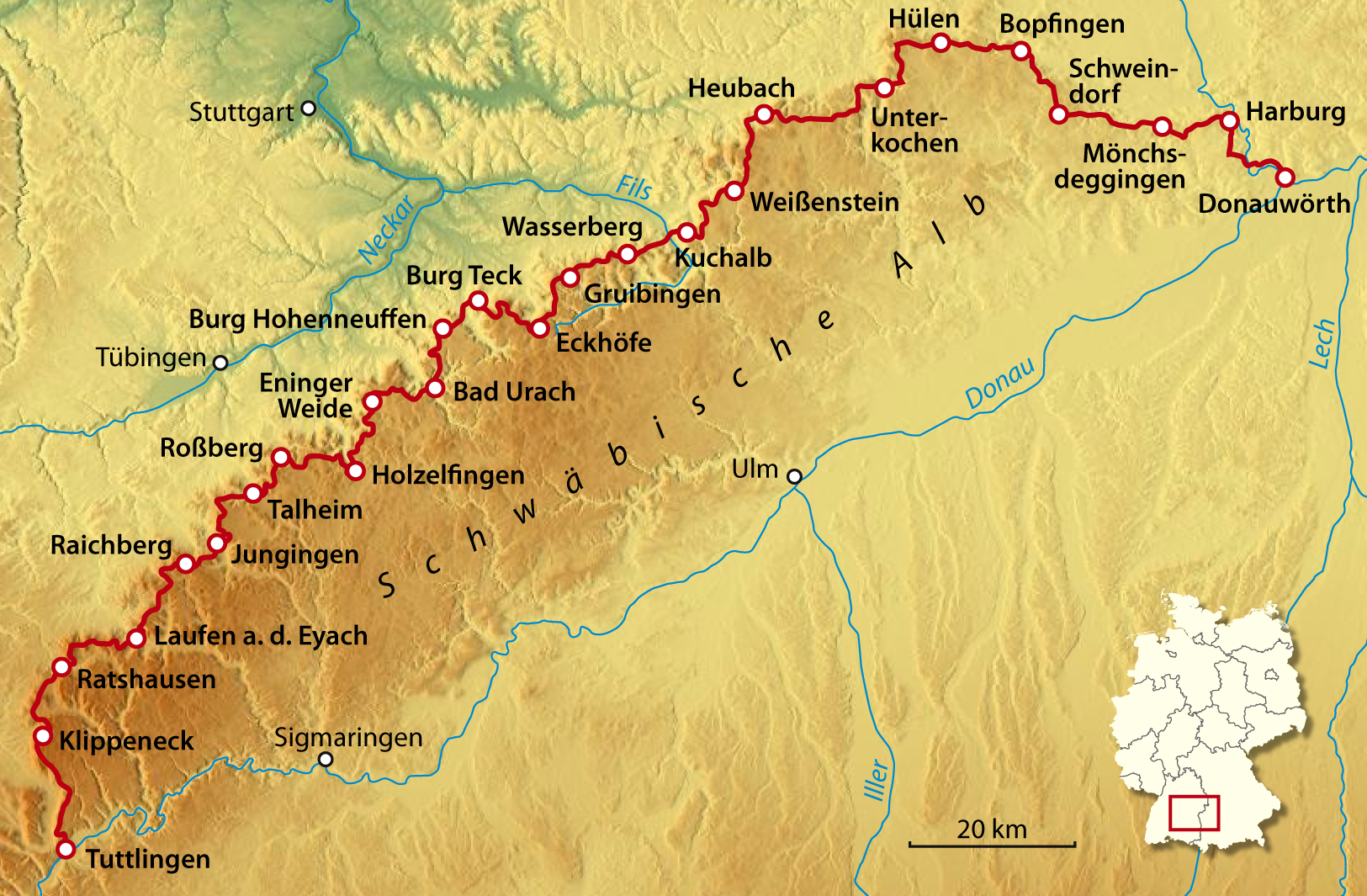 | 1 625×1 065 (1,44 MB) | Sysop (diskuse | příspěvky) | (Fotografie + ) |
- Editovat tento soubor v externím programu (Více informací najdete v nápovědě pro nastavení.)
Odkazy na soubor
Na soubor odkazuje tato stránka:


