Soubor:Vancouver Island NASA.png
Z Multimediaexpo.cz
(Rozdíly mezi verzemi)
m (Nahrazení textu „MW1.15-Fotografie“ textem „Fotografie + + pochází z Wikimedia Commons, kde má status – Kategorie:CC fotografie Kategorie:Fotografie soutěže 2015“) |
(++) |
||
| Řádka 1: | Řádka 1: | ||
| - | Fotografie + | + | Fotografie + Description: Satellite composition of the whole Earth's surface. |
| + | * Date: image released 11. Feb. 2002 | ||
| + | * Source: Satellite composition of the whole Earth's surface. NASA - Visible Earth, image cropped by HighInBC | ||
| + | ** Blue Marble: Land Surface, Shallow Water, and Shaded Topography | ||
| + | ** http://visibleearth.nasa.gov/images/2433/land_shallow_topo_east.tif | ||
| + | ** http://visibleearth.nasa.gov/images/2433/land_shallow_topo_west.tif | ||
| + | * Author: NASA/Goddard Space Flight Center | ||
| - | + | {{PD-USGov-NASA}} | |
| - | + | ||
| - | + | ||
| - | + | ||
Aktuální verze z 27. 2. 2024, 15:21
Fotografie + Description: Satellite composition of the whole Earth's surface.
- Date: image released 11. Feb. 2002
- Source: Satellite composition of the whole Earth's surface. NASA - Visible Earth, image cropped by HighInBC
- Blue Marble: Land Surface, Shallow Water, and Shaded Topography
- http://visibleearth.nasa.gov/images/2433/land_shallow_topo_east.tif
- http://visibleearth.nasa.gov/images/2433/land_shallow_topo_west.tif
- Author: NASA/Goddard Space Flight Center
+ pochází z Wikimedia Commons, kde má status – This file is in the public domain in the United States because it was solely created by NASA.
NASA copyright policy states that "NASA material is not protected by copyright unless noted".
(Use of NASA logos, insignia and emblems is restricted per U.S. law 14 CFR 1221)
NASA copyright policy states that "NASA material is not protected by copyright unless noted".
(Use of NASA logos, insignia and emblems is restricted per U.S. law 14 CFR 1221)
Historie souboru
Kliknutím na datum a čas se zobrazí tehdejší verze souboru.
| Datum a čas | Náhled | Rozměry | Uživatel | Komentář | |
|---|---|---|---|---|---|
| současná | 17. 4. 2014, 09:28 | 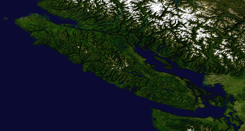 | 792×424 (485 kB) | Sysop (diskuse | příspěvky) | (MW1.15-Fotografie) |
- Editovat tento soubor v externím programu (Více informací najdete v nápovědě pro nastavení.)
Odkazy na soubor
Na soubor odkazuje tato stránka:


