Soubor:Taiwan Strait.png
Z Multimediaexpo.cz
(Rozdíly mezi verzemi)
(Obrázek +) |
(++) |
||
| Řádka 1: | Řádka 1: | ||
| - | + | Mapa + Description: | |
| + | * English: Map of the Taiwan Strait | ||
| + | * 閩南語 / Bân-lâm-gú:Tâi-uân Hái-kiap. 臺灣海峽 | ||
| + | * 中文(中国大陆):台湾海峡地图 | ||
| + | * 中文(简体):台湾海峡地图 | ||
| + | * 中文(臺灣):臺灣海峽地圖 | ||
| + | * 中文(香港):臺灣海峽地圖 | ||
| + | * 中文(繁體):臺灣海峽地圖 | ||
| + | * Source: Perry-Castañeda Library (Cleaned up version of en:Image:Taiwan straits.jpg, which is a work by the United States' government.) | ||
| + | * Author: "The following maps were produced by the U.S. Central Intelligence Agency, unless otherwise indicated." | ||
| + | |||
| + | {{PD-USGov-CIA}} | ||
| + | [[Kategorie:Maps of China]] | ||
| + | [[Kategorie:Maps of Taiwan]] | ||
Aktuální verze z 28. 1. 2025, 12:48
Mapa + Description:
- English: Map of the Taiwan Strait
- 閩南語 / Bân-lâm-gú:Tâi-uân Hái-kiap. 臺灣海峽
- 中文(中国大陆):台湾海峡地图
- 中文(简体):台湾海峡地图
- 中文(臺灣):臺灣海峽地圖
- 中文(香港):臺灣海峽地圖
- 中文(繁體):臺灣海峽地圖
- Source: Perry-Castañeda Library (Cleaned up version of en:Image:Taiwan straits.jpg, which is a work by the United States' government.)
- Author: "The following maps were produced by the U.S. Central Intelligence Agency, unless otherwise indicated."
+ pochází z Wikimedia Commons, kde má status – This image is a work of a Central Intelligence Agency employee, taken or made as part of that person's official duties. As a Work of the United States Government, this image or media is in the public domain in the United States.
Historie souboru
Kliknutím na datum a čas se zobrazí tehdejší verze souboru.
| Datum a čas | Náhled | Rozměry | Uživatel | Komentář | |
|---|---|---|---|---|---|
| současná | 28. 1. 2025, 12:40 | 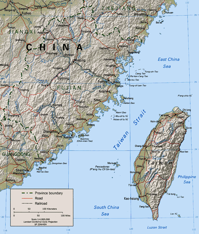 | 681×800 (207 kB) | Sysop (diskuse | příspěvky) | (Obrázek + ) |
- Editovat tento soubor v externím programu (Více informací najdete v nápovědě pro nastavení.)
Odkazy na soubor
Na soubor odkazuje tato stránka:


