Soubor:Thuringische staaten1890.jpg
Z Multimediaexpo.cz
(Rozdíly mezi verzemi)
(Fotografie+) |
(++) |
||
| Řádka 1: | Řádka 1: | ||
| - | + | Mapa + Description: | |
| + | * English: Map of Thuringian States, 1890 | ||
| + | * Slovenčina: Mapa durínskych štátov, 1890 | ||
| + | * Date: 1890 | ||
| + | * Source | ||
| + | ** Allgemeiner Handatlas : in 120 Kartenseiten nebst alphabetischem Namenverzeichnis / hrsg. von der geographischen Anstalt von Velhagen & Klasing in Leipzig, 2.,verm. und verb. Aufl., 2. rev. Abdruck, | ||
| + | ** Erschienen: Bielefeld u. Leipzig : Velhagen & Klasing, 1890, S. 36. | ||
| + | * Author: Andree, Richard | ||
| + | |||
| + | {{PD-old}} | ||
| + | [[Kategorie:Maps showing history]] | ||
Aktuální verze z 14. 3. 2023, 17:12
Mapa + Description:
- English: Map of Thuringian States, 1890
- Slovenčina: Mapa durínskych štátov, 1890
- Date: 1890
- Source
- Allgemeiner Handatlas : in 120 Kartenseiten nebst alphabetischem Namenverzeichnis / hrsg. von der geographischen Anstalt von Velhagen & Klasing in Leipzig, 2.,verm. und verb. Aufl., 2. rev. Abdruck,
- Erschienen: Bielefeld u. Leipzig : Velhagen & Klasing, 1890, S. 36.
- Author: Andree, Richard
+ pochází z Wikimedia Commons, kde má status – This work is in the public domain in its country of origin and other countries and areas where the copyright term is the author's life plus 70 years or less.
Historie souboru
Kliknutím na datum a čas se zobrazí tehdejší verze souboru.
| Datum a čas | Náhled | Rozměry | Uživatel | Komentář | |
|---|---|---|---|---|---|
| současná | 8. 10. 2014, 11:42 | 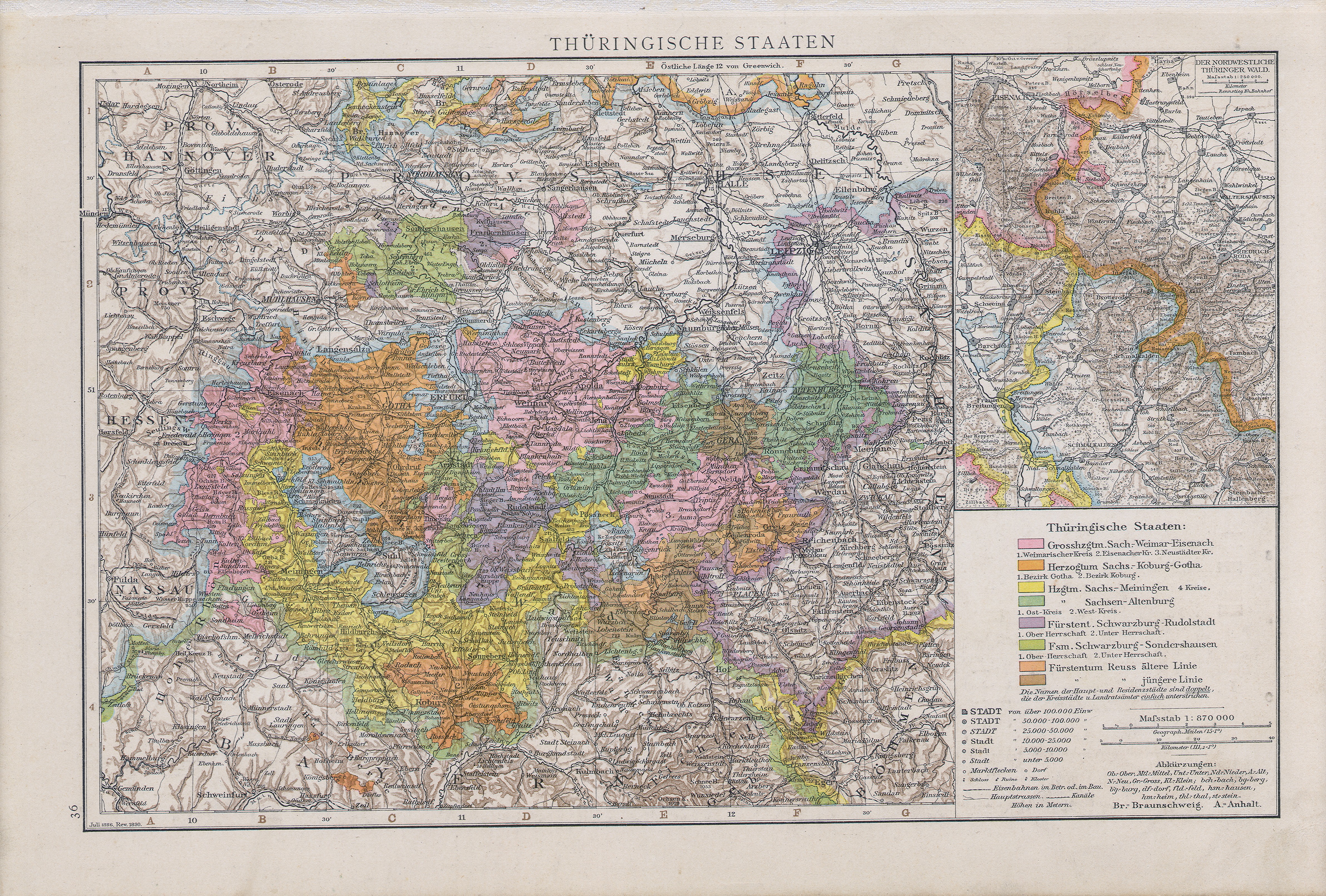 | 4 767×3 222 (7,42 MB) | Student85 (diskuse | příspěvky) | (Fotografie+) |
- Editovat tento soubor v externím programu (Více informací najdete v nápovědě pro nastavení.)
Odkazy na soubor
Na soubor odkazuje tato stránka:


